
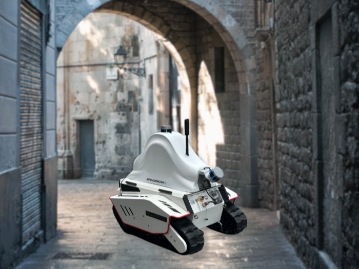
Robot-based Mobile Mapping System
Robot SpaceScanX mobile mapping system is a LiDAR SLAM based smart mobile robot capable of autonomous mapping and navigation. The robot generates 2D and 3D maps of the environment, which are used to localize the robot during autonomous navigation. The robot is equipped with vision sensors fed into computer vision algorithms for various applications. The key technologies employed by the bunker include 3D point-cloud processing, SLAM, obstacle avoidance, path planning, robotic control, and computer vision. The software stack of the bunker is based on ROS, which enables distributed processing and easy extension to multi-agent robotic systems for fast mapping of the environment.
FEATURES
Remote Mapping and Navigation
The bunker can be controlled remotely from a large range via an RC controller and an even larger range over the cellular network (LTE/5G). The remote control makes it an excellent choice for search and rescue operations (fire, earthquakes, etc.), where human presence can be dangerous.
Computer Vision
The vision sensors are fed into the computer vision model to enable smart monitoring of its environment. The vision model can detect specific objects and report to a central server if something unusual is detected. For example, in a construction site, it can be ensured that the safety regulations (e.g., wearing a PPE helmet) are being followed.
Automatic Obstacle Avoidance and Path Planning
The robot uses LiDAR and infrared depth sensors to detect dynamic obstacles in its environment automatically. The obstacles are then fed into the navigation algorithm, which updates the planned path to avoid the obstacle. The combination of obstacle avoidance enables the robot to complete its task autonomously, where the operator only needs to give the final destination to the robot.
Distributed Control
The cellular connection enables distributed control of the multi-agent robotic system in the absence of a direct network connection. Multiple bunker robots can be assigned to complete the task of mapping a large area. The robot will collaborate over the cellular network to devise a strategy that optimizes the time required to complete the map.
Cellular Network Connectivity
The cellular network (LTE/5G) enables the robot to connect to a remote server in the absence of a direct network connection (i.e., no WIFI network is present). The robot can connect and report its status (e.g., localization and mapping, obstacle avoidance, object detection) to a central server where the information can be further processed and commands can be sent to the robot remotely.
SPECIFICATIONS
Laser Scanners
Range Accuracy
±3 cm
3D Lidar Data Points Generated
~200,000 points per second